JABATAN MINERAL DAN GEOSAINS MALAYSIA, SABAH (2025)
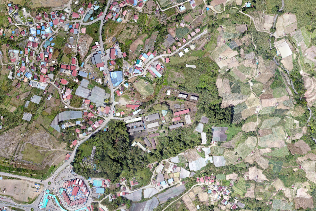
We provide professional LiDAR surveying services for forest and recreational areas using high-specification LiDAR technology. Our operations are conducted with the DJI Matrice 350 RTK, equipped with the advanced DJI Zenmuse L2 LiDAR gimbal camera.
This cutting-edge system allows us to capture highly accurate terrain and vegetation data, even in dense forest environments. In addition, we deliver high-resolution mapping and detailed area imagery, ensuring precise and reliable results for planning, monitoring, and analysis purposes.
MAJLIS PERBANDARAN AMPANG JAYA (2024)
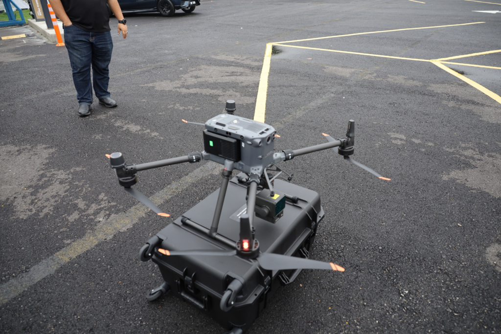
We provide professional LiDAR surveying services for forest and recreational areas using high-specification LiDAR technology. Our operations are conducted with the DJI Matrice 350 RTK, equipped with the advanced DJI Zenmuse L2 LiDAR gimbal camera.
This cutting-edge system allows us to capture highly accurate terrain and vegetation data, even in dense forest environments. In addition, we deliver high-resolution mapping and detailed area imagery, ensuring precise and reliable results for planning, monitoring, and analysis purposes.
MAJLIS PERBANDARAN AMPANG JAYA (2024)
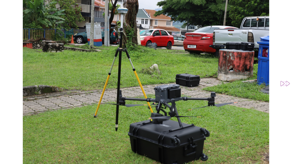
We provide professional LiDAR surveying services for forest and recreational areas using high-specification LiDAR technology. Our operations are conducted with the DJI Matrice 350 RTK, equipped with the advanced DJI Zenmuse L2 LiDAR gimbal camera.
This cutting-edge system allows us to capture highly accurate terrain and vegetation data, even in dense forest environments. In addition, we deliver high-resolution mapping and detailed area imagery, ensuring precise and reliable results for planning, monitoring, and analysis purposes.